
File:Seven United Netherlands Janssonius 1658.jpg
Size of this preview: 556 × 480 pixels.
| |
This is a file from the Wikimedia Commons. Information from its description page there is shown below.
Commons is a freely licensed media file repository. You can help. |
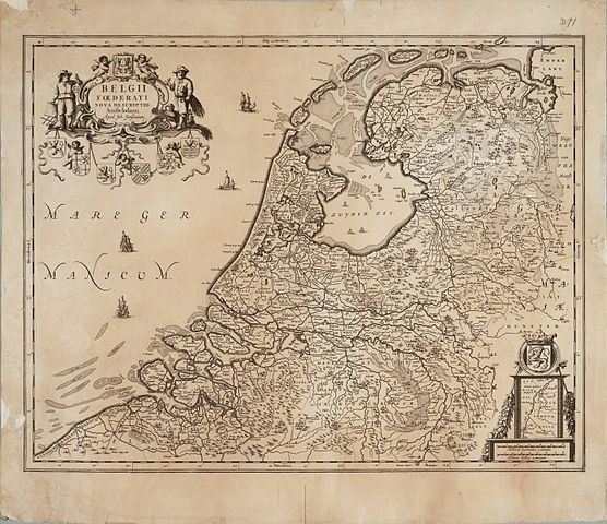
| Description | English: Map of the Republic of the Seven United Netherlands
Drawn by Joannes (or Johannes) Janssonius, part of his collection Belgii Foederati Nova Descriptio |
|||||||||||||||||||||||||
| Date | 1658 | |||||||||||||||||||||||||
| Source | Archieven.nl Oude versie kwam van: Universiteit van Groningen | |||||||||||||||||||||||||
| Author |
|
|||||||||||||||||||||||||
| Permission ( Reusing this file) |
|
|||||||||||||||||||||||||

File usage
The following pages on Schools Wikipedia link to this image (list may be incomplete):
The best way to learn
SOS Children has brought Wikipedia to the classroom. SOS Childrens Villages is a global charity founded in 1949 to give children who have lost everything the childhood they deserve. Find out more about sponsoring a child.